Atlases, Maps
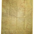
Officially issued to the German army in 1940. Size 66,5 x 61 cm. There is some minor damage. More
Price:
25€
Panovec - Slovenia map with HQ markings K.u.K Kriegsvermessung Isonzoarmee Nachträge 6.7.1908, abgeschossen am 7 Juli 1917. K.u.K Abschnittskommando III Art.Na. Zentrale size: 85x66cm More
Price:
50€
Szombathely map (Hungaria). Südhälfte zu Blatt Wien-Nr.: 34/48, size: 42x33cm More
Price:
25€
Austro-Hungarian map of the Galizien 1:400, K.u.K Feldkanonenregiment № 14, 2. Batterie, size: 50x40cm More
Price:
35€
Pre war Austrian map: Klattau, Linz, Salzburg. Druck und Verlag: Kartographisches, früher Militärgeographisches Institut in Wien Size: 115x75cm More
Price:
30€
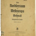
WW2 German patriotical map. From the issue of " Bridge from the frontline to home". Western Europe in war with markings from OKWehrmacht. Der Nordseeraum und Westeuropa mit Westwall und Maginot-Linie.More
Price:
40€
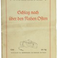
The soldier's library field issue propaganda. Maps - the strike from through Middle East. Schlag nach über den Nahen Osten. 1941. Tornisterschrift des Oberkommandos der Wehrmacht Abt. Inland. Bibliographisches Institut Ag. Leipzig. Size: 47x65 More
Price:
25€
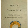
HAPAG cruise map. Verzeichnis der Fremden-Plätze, deren Höhenlage und Hinweis wo sie auf dieser Karte zu finden sind. Touristenkarte der Schweiz. Meiss und Co A-G. Schweiz. Reise-Agentur "Lloyd" Zürich. Size: 47x35cm More
Price:
10€
